
Follow LVIS
External Links
- 61A: Geodesy and Geophysics Laboratory
- Operation IceBridge
- ABoVE
- NSIDC
- GEDI
- GRACE
- University of Maryland
Recent News
LVIS featured on #ScienceInSeconds
28 Jul 2021
Dr. Michelle Hofton was interviewed for NASA Associate Administrator Dr. Thomas Zurbuchen's Twitter update during the 2021 GEDI Calibration/Validation campaign!
Greenland data available at NSIDC
14 Jun 2018
LVIS Level 1B and 2 data products from Operation IceBridge Greenland 2017 are now available at NSIDC. Links are now available here!
ABoVE data available at NSIDC
9 May 2018
LVIS Level 1B and 2 data products from ABoVE 2017 are now available at NSIDC, and the IceBridge 2017 data products have been sent out. Take a look here!
ABoVE data sent to NSIDC
8 Mar 2018
LVIS data from ABoVE 2017 has been sent to NSIDC. As soon as the data is available, links will be posted here!
ICESat-2 Cal/Val 2022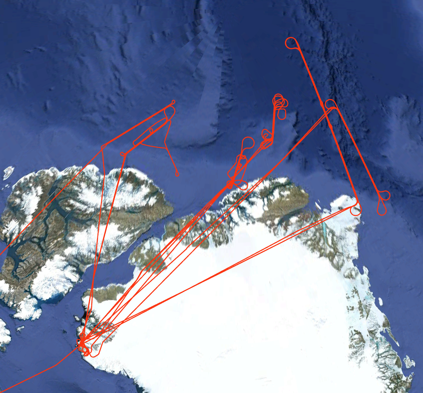
In July 2022, NASA's LVIS Facility was used to collect data over the Arctic Ocean, including along ICESat-2 Reference Ground Tracks. The LVIS-F lidar sensor was used to collect surface elevation and structure information from 32,000' altitude on the NASA G-V airplane, along with data from as low as 1,700' AGL. LVIS-F operated for a subset of the low altitude flight lines, where the primary sensor was the Leica Chiroptera-4X System from the University of Texas. The LVIS Canon camera (50 MP) was operated at both low and high altitudes. The LVIS Phase One camera (150 MP) was only operated at high altitude. Data on transits to/from data collection sites are also available. Note that the Level 2 data from this mission are distributed in LVIS Data Structure Version (LDS) 2.0.4 (ice surfaces), while the Level 2 data from the transits are distributed in LDS Version 2.0.3 (land surfaces). Flight trajectories and preliminary coverage maps are available on this page. Use the python code posted here to view the data products from this mission. |
LVIS Mission Information
|
ResourcesAirports
Related Datasets
| |||||||||||||||||||||||||||||||||||||||
Data Products
| LVIS Data Products | Format | Download Location |
| Flight Trajectories | KMZ | This page |
| Coverage Maps | KMZ | This page |
| LVIS L1A Camera Imagery | JPG* | NSIDC1, NASA EarthData |
| LVIS L1B Georeferenced Camera Imagery | TIF* | NSIDC1, NASA EarthData |
| LVIS Facility L1B Geolocated Waveforms | HDF, LDS 2.0.4 | NSIDC1, NASA EarthData |
| LVIS Facility L2 Elevation and Height Products | ASCII TXT, LDS 2.0.3 (land surfaces) and LDS 2.0.4 (ice surfaces) | NSIDC1, NASA EarthData |
1 At NSIDC, search for date ranges 01 Jul 2022 through 31 Jul 2022
| View | MJD | Date | Region / Remarks | GPS Flight Trajectory | Preliminary LVIS Coverage* (Key) | L2 Gridded KMZs† | Photo KMZs† | |
|---|---|---|---|---|---|---|---|---|
| CAM150MP | CAM050MP | |||||||
| 59761 | 01 July 2022 | Sensor calibration flight, Gulf of Mexico | [kmz] | [kmz] | [kmz] | [kmz] | ||
| 59766 | 06 July 2022 | Sensor calibration flight, Gulf of Mexico | [kmz] | [kmz] | [kmz] | [kmz] | ||
| 59767 | 07 July 2022 | Ellington Field to Thule Air Base | [kmz] | [kmz] | [ZG] | [kmz] | [kmz] | |
| 59771 | 11 July 2022 | ICESat-2 RGT 299, high altitude | [kmz] | [kmz] | [Zlow] | [kmz] | [kmz] | |
| 59772 | 12 July 2022 | ICESat-2 RGT 314, high altitude | [kmz] | [kmz] | [Zlow] | [kmz] | [kmz] | |
| 59779 | 19 July 2022 | ICESat-2 RGT 422, high altitude | [kmz] | [kmz] | [Zlow] | [kmz] | [kmz] | |
| 59781 | 21 July 2022 | ICESat-2 RGT 453, low altitude | [kmz] | [kmz] | [Zlow] | [kmz] | [kmz] | |
| 59783 | 23 July 2022 | ICESat-2 RGT 485, primarily low altitude | [kmz] | [kmz] | [Zlow] | [kmz] | [kmz] | |
| 59786 | 26 July 2022 | ICESat-2 RGT 531, primarily low altitude | [kmz] | [kmz] | [Zlow] | [kmz] | [kmz] | |
| 59787 | 27 July 2022 | Transit from Duluth, MN to Ellington Field | [kmz] | [kmz] | [ZG] | [kmz] | [kmz] | |
| July 2022 | All Flights | [kmz] | ||||||
*Preliminary LVIS Coverage locations are generated shortly after a flight and based on quicklook product information and are intended for general guidance only.
Key: Red=0%, Pink=1-10%, Orange=10-20%, Yellow=20-50%, Green=50-100%
†Warning: Gridded and Photo KMZ files are large and may take some time to load in Google Earth
