
Follow LVIS
External Links
- 61A: Geodesy and Geophysics Laboratory
- Operation IceBridge
- ABoVE
- NSIDC
- GEDI
- GRACE
- University of Maryland
Recent News
LVIS featured on #ScienceInSeconds
28 Jul 2021
Dr. Michelle Hofton was interviewed for NASA Associate Administrator Dr. Thomas Zurbuchen's Twitter update during the 2021 GEDI Calibration/Validation campaign!
Greenland data available at NSIDC
14 Jun 2018
LVIS Level 1B and 2 data products from Operation IceBridge Greenland 2017 are now available at NSIDC. Links are now available here!
ABoVE data available at NSIDC
9 May 2018
LVIS Level 1B and 2 data products from ABoVE 2017 are now available at NSIDC, and the IceBridge 2017 data products have been sent out. Take a look here!
ABoVE data sent to NSIDC
8 Mar 2018
LVIS data from ABoVE 2017 has been sent to NSIDC. As soon as the data is available, links will be posted here!
IceBridge 2010, Antarctica
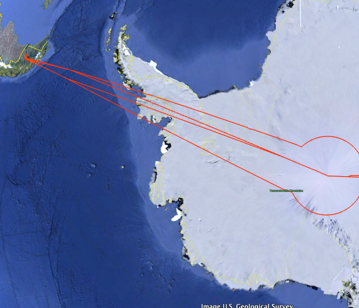
In Fall 2010, LVIS co-mounted on the NASA DC-8 aircraft along with other Icebridge Sensors performed dedicated high-altitude, flights in Antarctica for the calibration and validation of NASA's ICESat sensor. Data are available in both Level1B and Level2 formats. The Level1b data files contain the geolocated laser waveform data for each laser footprint. The Level2 data files contain elevations of reflecting surfaces derived from the Level1b data.
Level 2 files are much smaller and more manageable. For those users not familiar with waveform lidar data, we recommend that you start with the Level2 files before moving to the Level1b files (e.g., for context or to apply different algorithms). The Level1B data are in HDF5 and the Level2 data are in ascii.
Use the python code posted here to view the data products from this mission.
A description of the data products from this mission, along with their use for calibrating data from the ICESat sensor is:
Hofton, M. A. and Luthcke, S. B. and Blair, J. B. Geophysical Research Letters, 40, issue 21, 5698-5703, 2013. 10.1002/2013GL057652
LVIS Mission Information
|
Resources | ||||||||||||
Data Products
| LVIS Data Products | Format | Download Location |
| Flight Trajectories | KMZ | This page |
| LVIS L1B Geolocated Waveforms | HDF, LDS 1.04 | NSIDC1, NASA EarthData |
| LVIS L2 Elevation and Height Products | ASCII TXT, LDS 1.04 | NSIDC1, NASA EarthData |
1 At NSIDC, search for date ranges 01 Nov 2010 through 30 Nov 2010
| Display | MJD | Date | Region / Remarks | Platform | Flight Trajectory |
|---|---|---|---|---|---|
| 55504 | 04 Nov 2010 | Pole Hole 1 | DC-8 | [JPEG] [PDF] [kmz] [shp] | |
| 55510 | 10 Nov 2010 | Pole Hole 2 | DC-8 | [JPEG] [PDF] [kmz] [shp] | |
| Nov 2010 | All Antarctic 2010 Flights | DC-8 | [kmz] [shp] |
