
Follow LVIS
External Links
- 61A: Geodesy and Geophysics Laboratory
- Operation IceBridge
- ABoVE
- NSIDC
- GEDI
- GRACE
- University of Maryland
Recent News
LVIS featured on #ScienceInSeconds
28 Jul 2021
Dr. Michelle Hofton was interviewed for NASA Associate Administrator Dr. Thomas Zurbuchen's Twitter update during the 2021 GEDI Calibration/Validation campaign!
Greenland data available at NSIDC
14 Jun 2018
LVIS Level 1B and 2 data products from Operation IceBridge Greenland 2017 are now available at NSIDC. Links are now available here!
ABoVE data available at NSIDC
9 May 2018
LVIS Level 1B and 2 data products from ABoVE 2017 are now available at NSIDC, and the IceBridge 2017 data products have been sent out. Take a look here!
ABoVE data sent to NSIDC
8 Mar 2018
LVIS data from ABoVE 2017 has been sent to NSIDC. As soon as the data is available, links will be posted here!
.
East and West Coasts 1999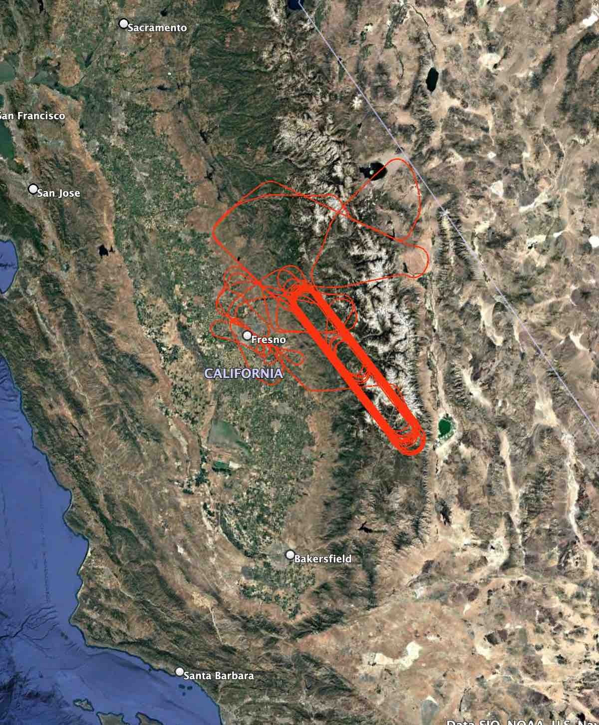

In September-October 1999 LVIS collected data over California, New Hampshire, and North Carolina. |
LVIS Mission Information
|
Resources | ||||||||||||||||||
Data Products
| LVIS Data Products | Format | Download Location |
| Flight Trajectories | KMZ | This page (see below) |
| Coverage Maps | KMZ | This page (see below) |
| LVIS L1B Geolocated Waveforms | HDF .h5 (LDS 1.05) | NASA Earthdata, NSIDC |
| LVIS L2 Elevation and Height Products | ASCII .TXT (LDS 1.05) | NASA Earthdata, NSIDC |
Level 1B Data
| File | Size | Format |
| LVIS US CA 1999 WAVE 20070126 Giant Forest v1.02 | 19 MB | Zip |
| LVIS US CA 1999 WAVE 20070126 GroundSiteLocs V1.02 | 4 MB | Zip |
Level 2 Data
| File | Size | Format |
| LVIS US CA 1999 VECT 20070126 v1.02 | 482 MB | Zip |
| LVIS US NC 1999 VECT 20060417 v1.02 | 83 MB | Zip |
| LVIS US NH 1999 VECT 20060417 v1.02 | 48 MB | Zip |
| View | MJD | Date | Region / Remarks | Flight Trajectory | Coverage KMZs |
|---|---|---|---|---|---|
| 51447 | 26 Sep 1999 | New Hampshire | [kmz] | ||
| 51452 | 01 Oct 1999 | Western North Carolina | [kmz] | ||
| 51461 | 10 Oct 1999 | Sequoia Forest 1 | [kmz] | ||
| 51463 | 12 Oct 1999 | Sequoia Forest 2 | [kmz] | ||
| 51470 | 19 Oct 1999 | Sequoia Forest 3 | [kmz] | ||
| Sep/Oct 1999 | All 1999 Flights | [kmz] |
