
Follow LVIS
External Links
- 61A: Geodesy and Geophysics Laboratory
- Operation IceBridge
- ABoVE
- NSIDC
- GEDI
- GRACE
- University of Maryland
Recent News
LVIS featured on #ScienceInSeconds
28 Jul 2021
Dr. Michelle Hofton was interviewed for NASA Associate Administrator Dr. Thomas Zurbuchen's Twitter update during the 2021 GEDI Calibration/Validation campaign!
Greenland data available at NSIDC
14 Jun 2018
LVIS Level 1B and 2 data products from Operation IceBridge Greenland 2017 are now available at NSIDC. Links are now available here!
ABoVE data available at NSIDC
9 May 2018
LVIS Level 1B and 2 data products from ABoVE 2017 are now available at NSIDC, and the IceBridge 2017 data products have been sent out. Take a look here!
ABoVE data sent to NSIDC
8 Mar 2018
LVIS data from ABoVE 2017 has been sent to NSIDC. As soon as the data is available, links will be posted here!
Pre-IceBridge 2007, Greenland
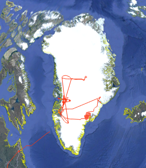
In 2007, the LVIS team received funded to demonstrate 25m waveform lidar mapping of icesheets in support of future lidar spaceborne missions. The instrument piggy-backed on an existing NASA research mission to Greenland and collected demonstration products for the application of waveform ldiar. Further details of the data products, data analaysis and comparison to ICESat products can be found in:
Hofton, M. A. and Blair, J. B. and Luthcke, S. B. and Rabine, D. L. Geophysical Research Letters 35 L24501 2008
LVIS Mission Information
|
Resources | ||||||||||||
Data Products
| LVIS Data Products | Format | Download Location |
| Flight Trajectories | KMZ | This page |
| LVIS L1B Geolocated Waveforms | LGW (LDS 1.02) | Coming soon |
| LVIS L2 Elevation and Height Products | LCE, LGE (LDS 1.02) | NSIDC, NASA EarthData |
| Display | MJD | Date | Region / Remarks | Platform | Flight Trajectory |
|---|---|---|---|---|---|
| 54363 | 20 September 2007 | Jakobshavn & Icesat Tracks 419 & 204 | NASA P-3 | [kmz] [shp] | |
| 54364 | 21 September 2007 | Jakobshavn & Icesat Tracks 419 & 204 | NASA P-3 | [kmz] [shp] | |
| 54366 | 23 September 2007 | Helheim & Kangerdlugssuaq | NASA P-3 | [kmz] [shp] | |
| 54368 | 25 September 2007 | Transit to Greenland | NASA P-3 | [kmz] [shp] | |
| Fall 2007 | All Greenland 2007 Flights | NASA P-3 | [kmz] [shp] |
